![]()
![]()
![]()
![]()

Places of Interest

This arch is located in the place formerly known as “La Puerta de Écija”, between the Cervantes square and Alfonso XII street. Its origins date back to 1796, as can be seen from the inscription in the structure above “Reigning the lords Mr. Carlos IV and Mrs. María Luisa de Borbón, 1796”.
This arch is in a neoclassical style in which we can highlight the symmetry and conciseness of its shape. It is composed of a great central half pointed arch topped with a frieze without any decoration. Over the frieze we can contemplate a majestic triangular pediment where you can see one inscription.
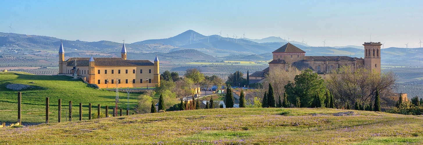
It is one of the most representative landmarks of the town.
This square dates back to the second half of the 16th century. It was located in front of the “Puerta de Écija”. At the beginning of the 17th century it received the name “Plaza de la Feria” (the square of the fair). Currently, after several modifications, it receives the name of one of the most important personalities from Spanish literature. Next to this square, we can find the Pastora Arch.
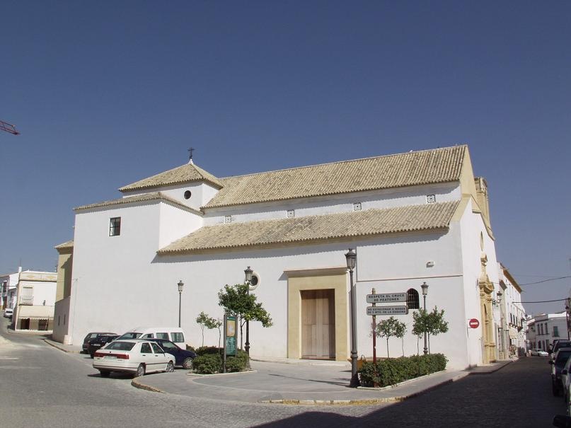
This square dates back to the middle of the 16th century. It received that name due to the foundation of the convent under that patronage. Formerly, it was named as Noreta square or Polvero square because it was a place where the whitewash was manufactured. It did not differ from the current Arcipreste Govantes square.
Formerly, this square was named as San Pedro square due to its location next to the chapel under that patronage since the first third of the 16th century.
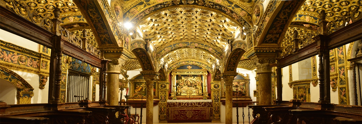
This religious enclosure was turned into a convent of nuns Discalced Carmelitas in times of the IV Count of Ureña.
It is located at the foot of the Collegiate church and in the immediate vicinity of the convent of the Mercedarian Discalced nuns, founded under that patronage in the first third of the 17th century. The monastery was settled in the property of the hospital founded by the IV count of Ureña.
It was created at the end of Middle Ages in the immediate vicinity of Puerta Nueva. In the 16th century it received the name “Doctor Serrano square”. The situation of the convent, at the middle of the 17th century, modified its name by the current one.
This square is located in the neighbourhood called “La Rehoya” which formerly was situated a short distance from the centre of the town although it is no longer located at the edge of the town.
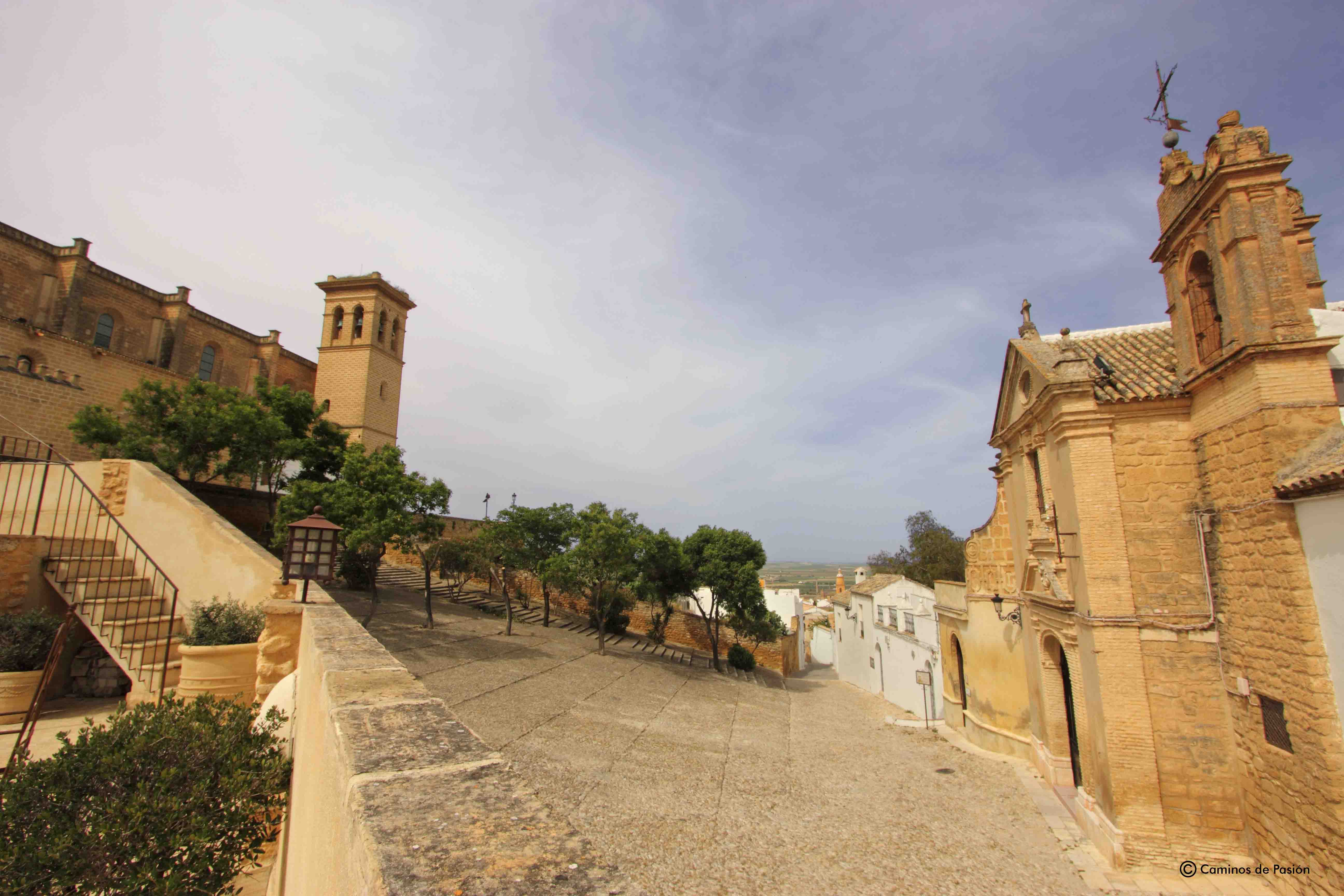
We can highlight the square of this neighbourhood from which you can contemplate a nice view of the Collegiate.
This enclosure received the name “Plateros square” in the second half of the 18th century but formerly was known as “Miguel Pablos square” since the end of the 16th century, due to the location of several buildings in this area belonging to a surgeon with that name. Subsequently, it was named as “San Agustín square” and currently it receives the name of “Santa Rita square”.
This square dates back to the last quarter of the 16th century. The municipality council of the town requested the first Duke of Osuna the transfer of a part of the land in order to create a square where the public celebrations take place. This enclosure was definitively constructed in the middle of the 17th century.
Since the 17th century this square was known as “Placeta de los Caldereros” due to its location next to the street with the same name. It is a propitious place to contemplate the magnificent baroque façade of the Marqués de la Gomera palace.
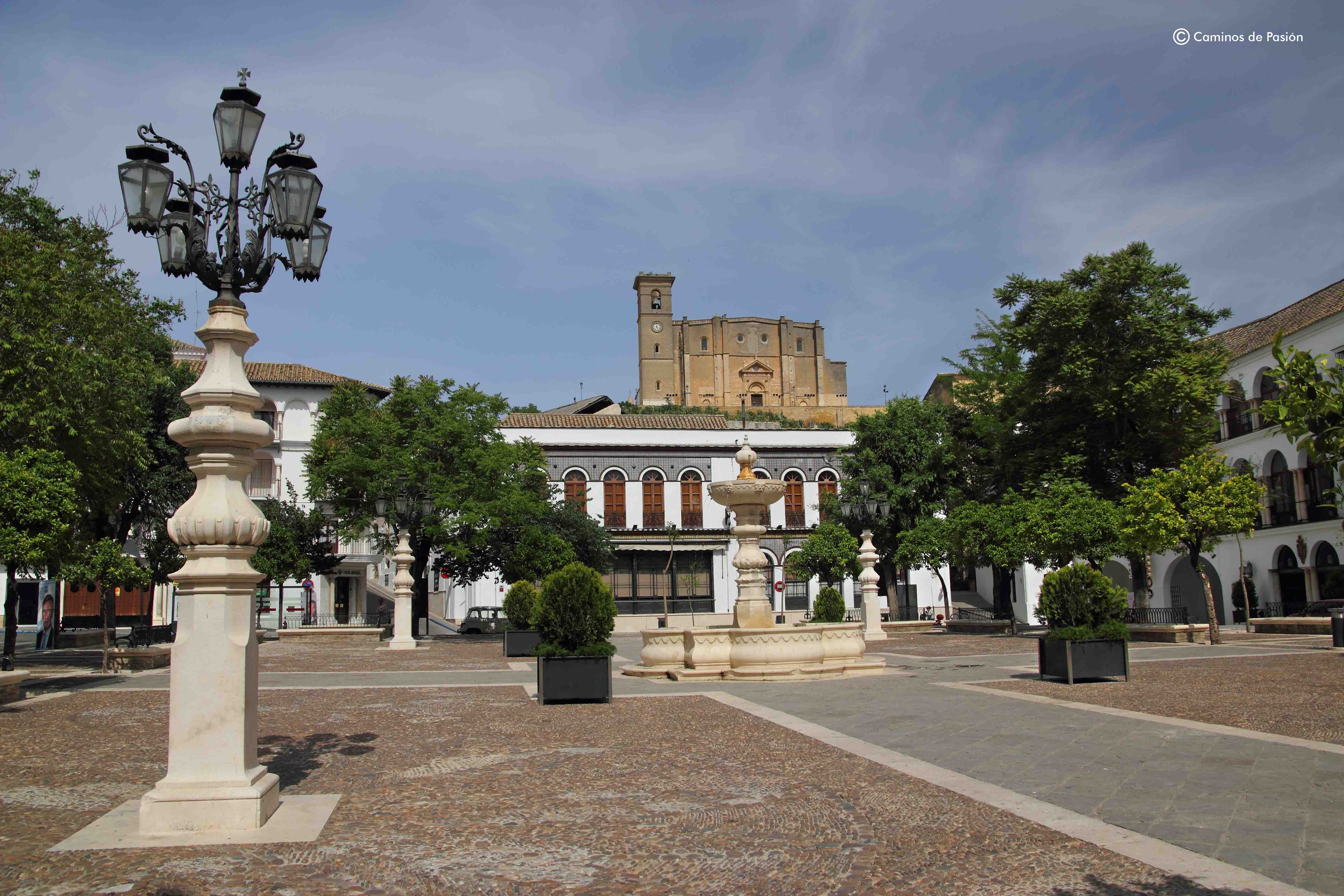
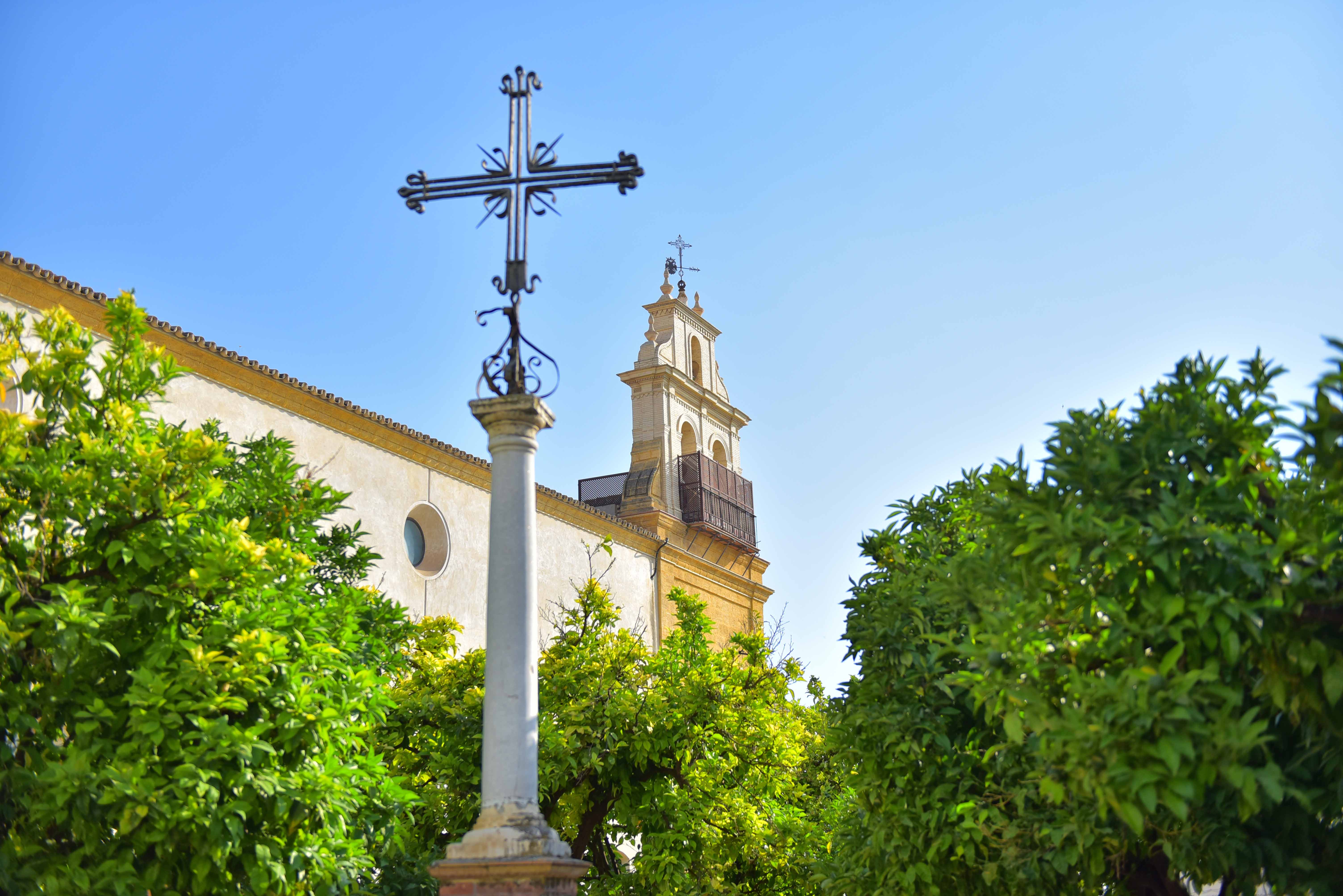
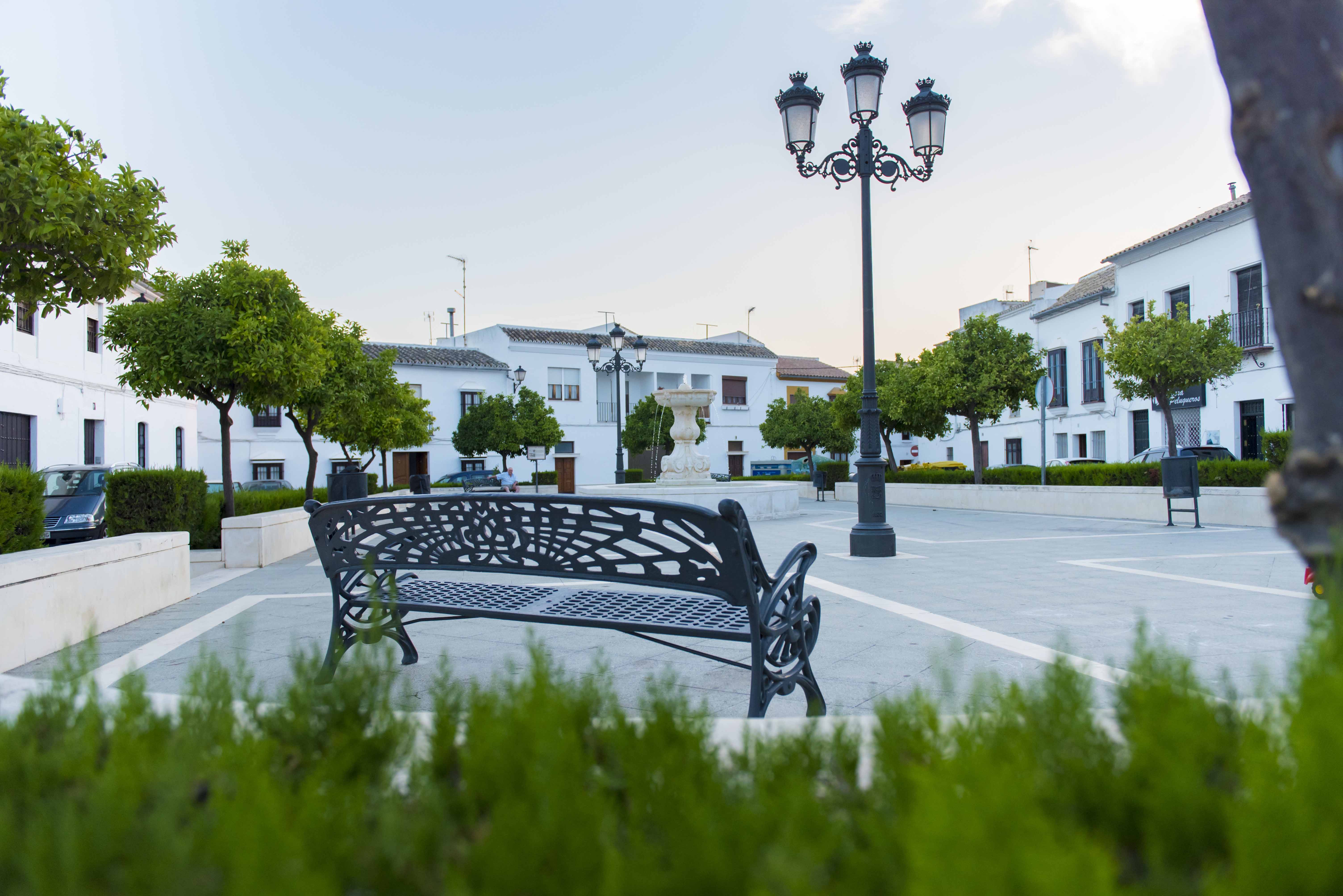
This square is located in the point where Sevilla, Écija and Teba paths met, since medieval times. It was originally a commercial area which was considered as the heart of the town in the 16th century. It is popularly known as “La Alameda” but it is officially named as Main Square.
This square is located in the point where Sevilla, Écija and Teba paths met, since medieval times. It was originally a commercial area which was considered as the heart of the town in the 16th century. It is popularly known as “La Alameda” but it is officially named as Main Square.
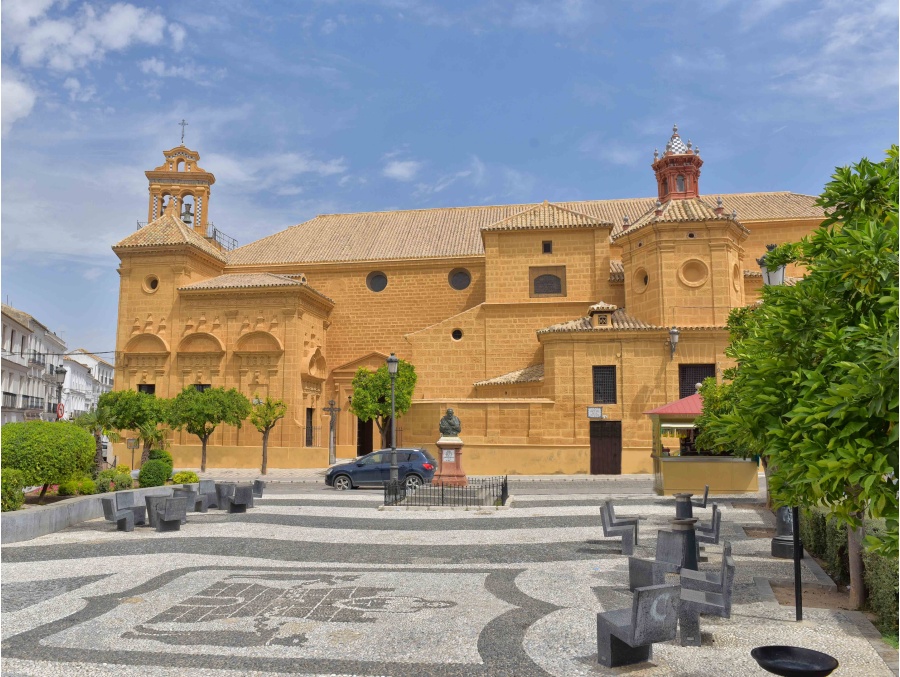
In the 16th century this square was named San Sebastián square. Subsequently, it received the name Santo Domingo. After several modifications, it was definitively assigned the name Rodríguez Marín in honour to the Illustrious Bachelor of Osuna whose bust lies there and it can be contemplated.
It is known as Salitre square since the 16th century due to a market with that name. During the Franco dictatorship, this square was named Canalejas square, but during the democratic transition the square recovered its original name.
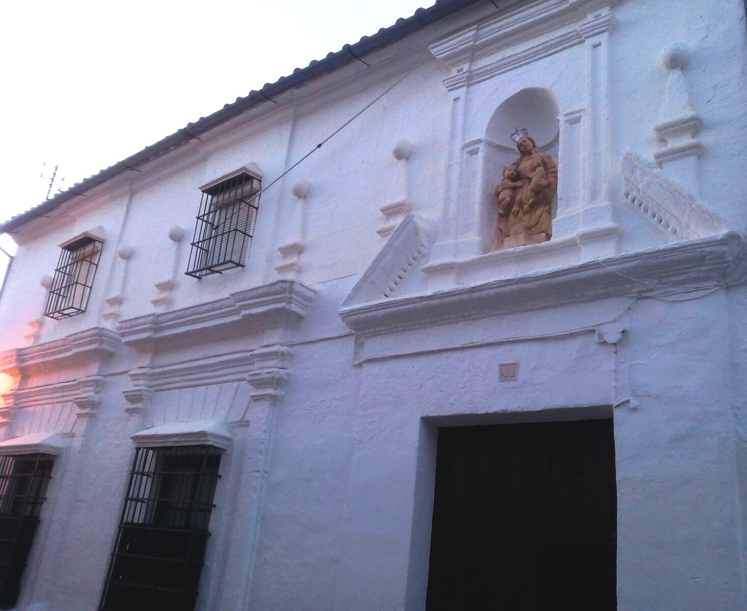
Alonso Navarro de Figueroa ordered its foundation in 1680 with the intention of providing wheat for the poorest farm workers.
The Granary Pío de la Misericordia or Granary of Charity is a place used as housing.
We can highlight the niche of the façade showing the image of a virgin, possibly the virgin María holding two children, maybe Jesús and Juan, providing the Christian idea of charity.
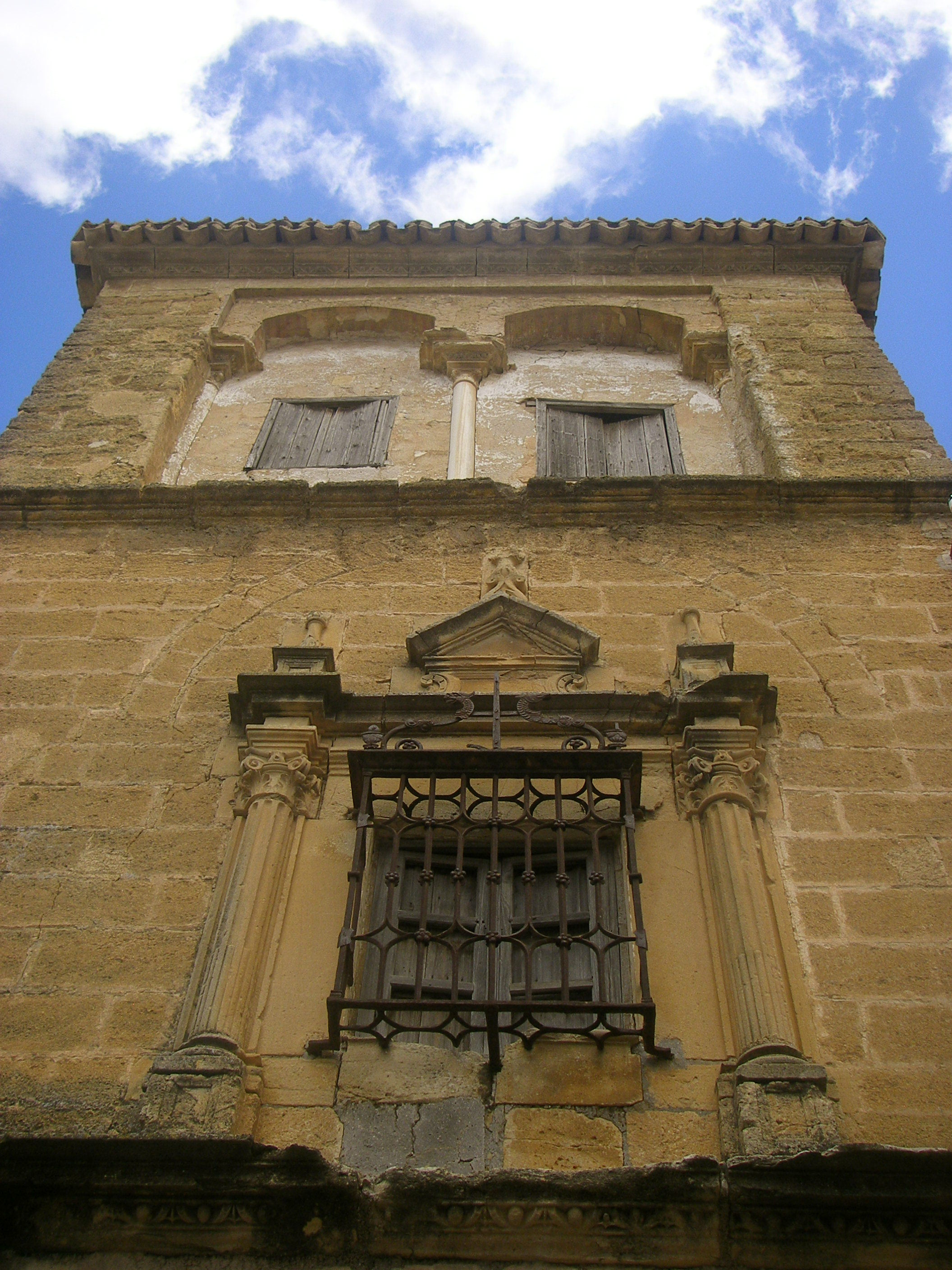
Although this tower is part of a building used as housing, it can be considered as a standalone building.
The first module has the façade and a window that open onto the street in plateresque style. This tower is built with the typical yellowish sandstone of the town.
The first module has the façade and a window that open onto the street in plateresque style. This tower is built with the typical yellowish sandstone of the town.
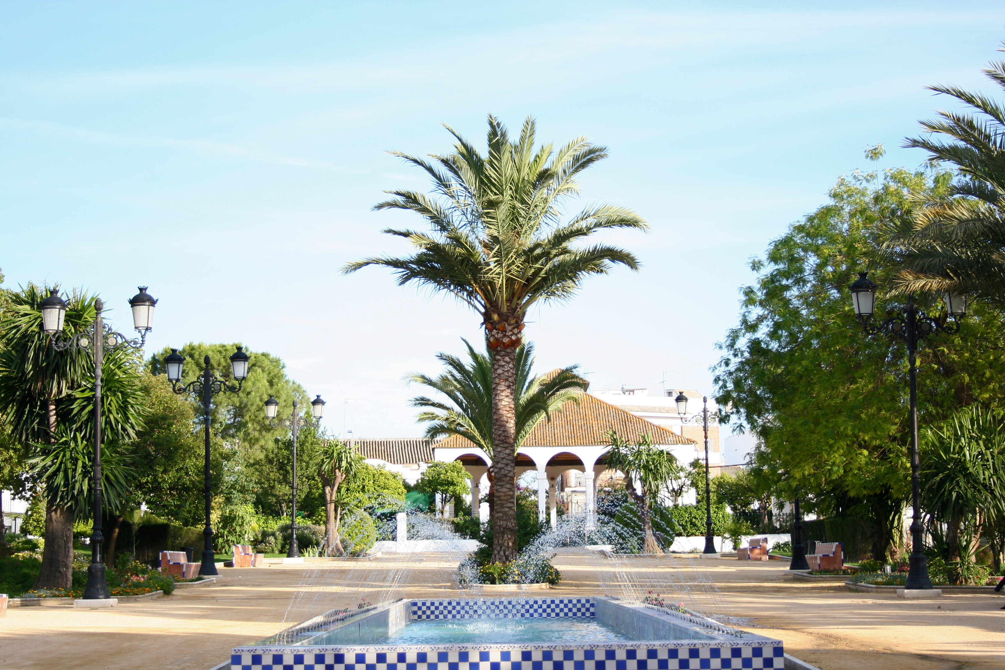
The park of Saint Arcadio is located in the north of the town, at the confluence of Alfonso XII Street and the regional highway of Lantejuela. It is the most ancient park of the town and it is estimated that was built in 1.927, which the objective to provide the town with a recreational area.
It has a surface of 13.245 square metres. It is a lineal park with a geometric configuration, at one of its ends is situated the popular “caseta” and the green areas are divided in different spaces.
We can highlight the perimeter fence of the park with a grille inspired by the María Luisa Park in Seville and the main gate that is a grille belonging to the former church of San Francisco dating back to 1.886.
The central fountains and the banks of the park are decorated with ceramic inspired by 17th century. This ceramic was made by the students of the Trade School of Manuel Rodríguez Buzón.
The green areas are divided into 16 spaces, at the entrance of the park you can enjoy the floral explosion of Cercis Siliquastrum in spring, the great smell of Laurus Nobilis or the beauty of Viburnum Tinus and three beautiful examples of Bella Sombra, Phytalacca Dioica.
Next to the main entrance we have two areas for younger children surrounded by different kind of flowers such as Tipuana Tipu, Catalpas Bignonioides and Jacarandas Mimosifolias which provide shade and protect children from direct sunlight.
The Ribera promenade intends to highlight the autochthonous flora of the Mediterranean forest with different varieties of poplars, some specimens of Tamrix and Salix Alba. Following this route we can appreciate some samples of Prunas Cerasifera, Hibiscus Azederach, Punica Granatum, Hibiscus Rosa-sinensis, Justicia adhatoda and Jasminum officinale and a magnificent one of Araucaria excelsa.
Furthermore, walking by this park we can find four examples of olives trees, with more than three hundred years each one and different varieties of Quercus, Crataegus siliquea, Pistacea Lentiscum Chamaerops Humilis, Arbutus Unedo.
At the end of this enclosure we find the so-called Glorieta de las Palmeras in which we can highlight three examples of Washintonia Robusta, Washintonia Filifera, Cycas Revolutas, Arenga Pinnata, Tradchycarpus Fortunei and Phoenis Canariensis.
At one of the ends of the park we can contemplate a pavilion made by Diego Jiménez dating back to 1927.