![]()
![]()
![]()
![]()
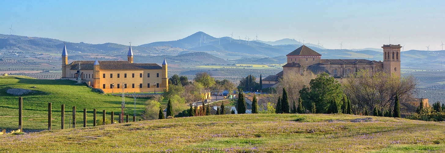

La Calderona

|
TYPOLOGIE OF PATH |
NAME |
TIME |
DISTANCE |
|
PR-A 379 |
LA CALDERONA |
3 hours |
13,8 km |
Tour starts at kilometre 39,4 A-351 road to the Saucejo. At this point, we must turn right towards the power plant. Walk continues across a small tunnel under A-92 road. A little further, along the Calderona’s sidewalk, we cross the Salado Creek and enter in Salinas and Enredaderos agricultural landscapes. Among olive groves and grain fields we will reach the so-called Viñas of the Llanos, where we will turn right to take River Peinado’s sidewalk, named as the stream that runs parallel to it. Here, you can enjoy a coastal landscape, where salt cedars and groves are the main characters in several hectares. We will find the remains of the Peinado farmhouse and centenary olive trees, on the left side of the Peinado Bank. Before reaching the Otero farmhouse, we will turn right towards the Urraco public path. This route takes us through the landscape of the Saint Jose’s farmhouse, back to the beginning of the trail. Previously, we will have to pass again through the Salado Creek, whose riverbed is, at this point, full of vegetation. By Vegas landscape, and taking the A-92 road, we will arrive at the beginning of this trail.
Peinado Creek
Peinado and Termino Brooks both birth in Osuna’s protected area of the Pinalejo. Here we can see Osuna’s main orographic accidents: the Gomera (810 m.), the Gomerón (754m.) and the Higuerones (605m.). This area is part of the catalogued and protected area known as the “Pinalejo.” Peinado’s creek lenght within Osuna is 33,545 Kms.
This area is southwest, taking as limits Osuna-El Saucejo road (c. km 10,5) and Barrancos Blancos Port to the East (km 16.5). Northwest boundary is Osuna-Encina’s Port road (from 12.5 Km until the village). Rest of the limits would agree with the limit of the township to the South, and with a nearly straight line from Encina’s Port until Higuerones. Streams with a moderately high torrential coefficient and streams with a high salinity percentage drain the area. In this area, we can find beautiful and lush riparian forests.