![]()
![]()
![]()
![]()
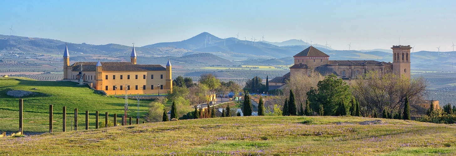

Ípora - Los Naranjos Path
|
TYPOLOGIE OF PATH |
NAME |
TIME |
DISTANCE |
|
PR-A 380 |
ÍPORA LOS NARANJOS |
5 hours and 35 minutes |
21 km |
This trail’s starting point is an underpass at km 84, road A-92, where we will take Ipora’s path (made of compacted aggregate). Once crossed this first point, we will reach a level crossing without barriers (to be crossed with special care) 600 metres further. To keep the route, we must walk until Doña Laura’s farmhouse, where we will find the crossing path of Tinoco and Saint Lucas farmhouses. From this point on, the road becomes the so-called livestock road Vereda Ípora. We will follow it, leaving the Arcos’ farmhouse to the left, until we reach intersection with SE-485 Road (between Martin of the Jara and Aguadulce). At this point, we will continue straight. We can observe how the landscape, until now predominantly agricultural slowly changes to a tree-lined meadow, surrounded by olive groves. We return to see a shrub meadow as we approach the peaks of the surrounding hills. Now, leaving Ipora’s sidewalk, we incorporate to St. Augustine’s Lane until Río Blanco. We can enjoy the beautiful specimens of Populus nigra within the Soldado Hill’s riparian forest, before reaching the farmhouse of Ipora, also known as “Los Naranjos”. Next to it, we find the Naranjos’ farmhouse fountain, whose waters come from the spring located only a few meters up west the hill, in Manzano Hill. This stop was a real oasis for cattle that used to cross through these places during the hot summer months. From this point, we can continue until we reach the wonderful White River’s copses. Reforested pine forests can be seen in the Naranjos Hills. This spot is not too far from the river’s confluence with the Salinoso stream.
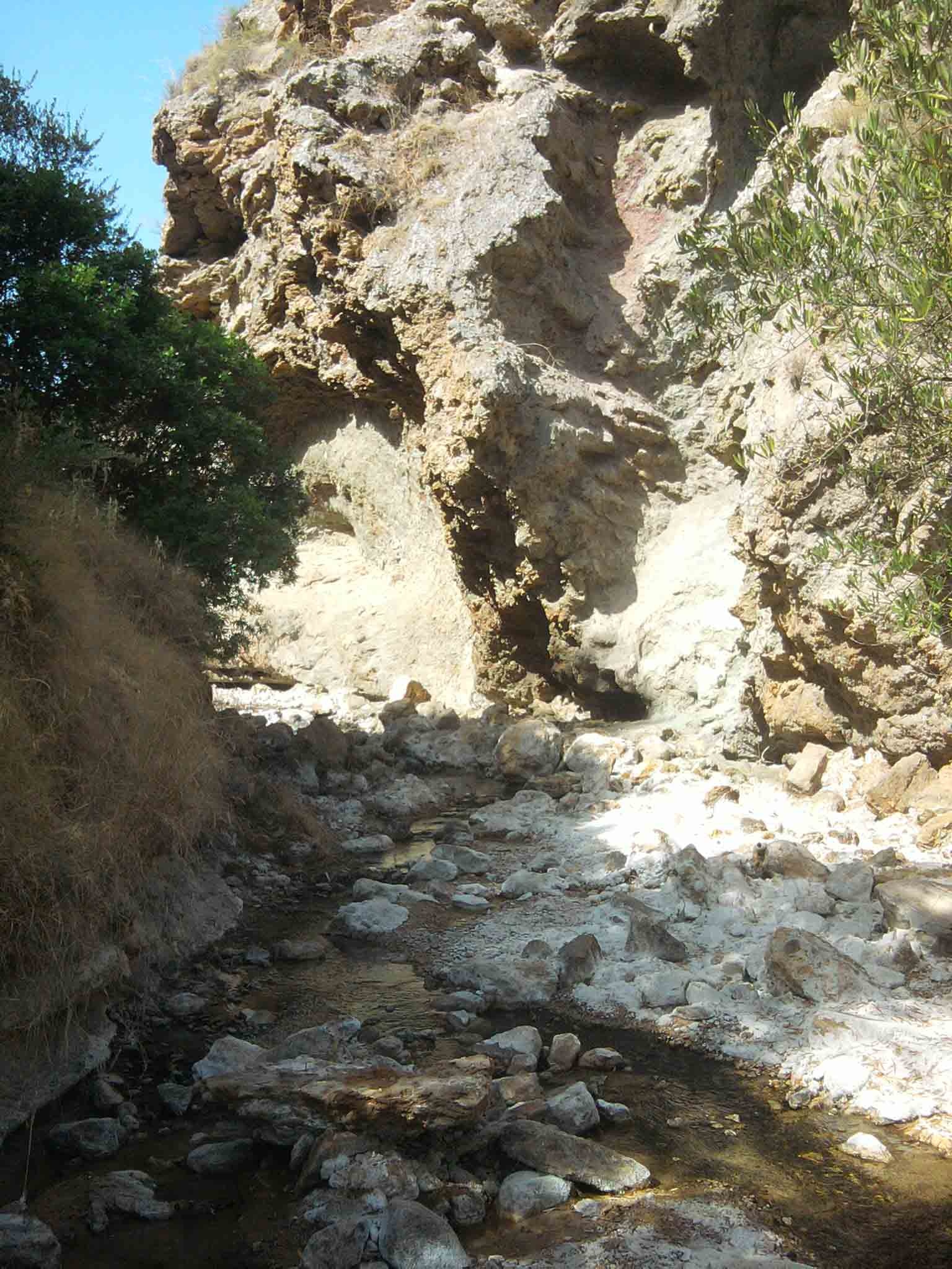
River Blanco and Salinoso Brook
It is located at the south east of Osuna. Its limits are the White River to the South, and Ipora’s farmhouse to the North. To the East, it follows the course of the river itself. Western limit is still the River in its confluence with its tributary, the Salinoso Creek. In its banks, we can observe distinctive shapes, because of the erosion. Inside its shore, we find the typical riparian vegetation together with poplars, black poplars, and blackberries. In the course of this river, we must highlight due to landscape but also scientific reasons, the place known as “River Plan”. Here the erosion process on the river sedimentation joins a growing meander. River presents an excellent fauna variety. We must highlight species such as: redfish, European bee-eaters, nightingales, robins, etc. Rest of the numerous fauna is composed by species such as: hawks, owls, foxes, weasels, dormice, red partridges, along with a large number of reptiles and endangered raptors, which live in the numerous limestone outcrops along the spot.